¶ JMT for Android Introduction
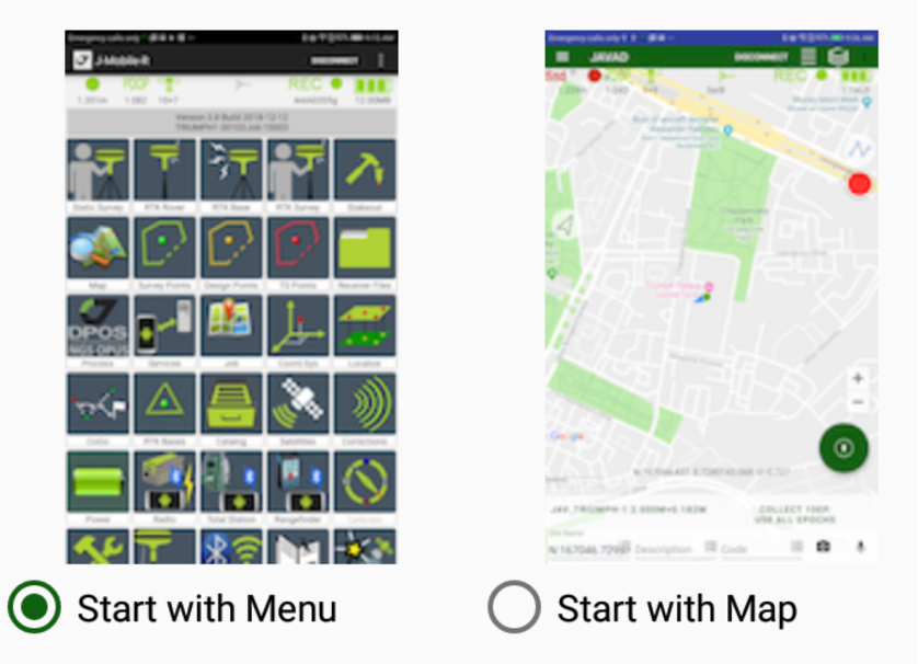
Working with Javad Mobile Tools you can use command menu or go directly to project map. This setting can be changed any time from menu in main window.
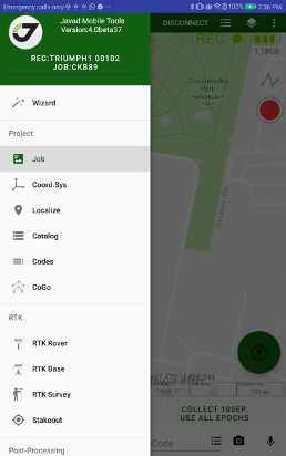
All user data are organized into job projects. A job is a project folder includes all data related to a job such as surveyed points, design points, raw files etc. J-Mobile let’s user create new job and open existing ones. Working in project screen, user can see job data in two modes – on map and on data list. This is main map screen.
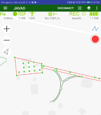
It includes map with objects from job.
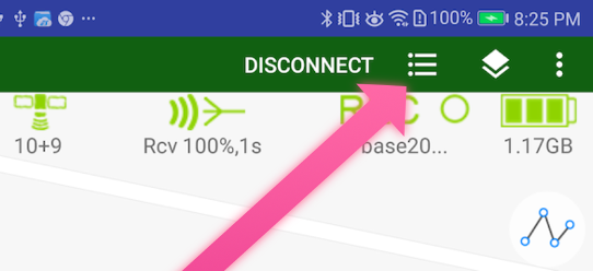
Clicking these menu items switches between list and map views.
To connect JAVAD GNSS receiver click CONNECT item on menu and select connection type.
Next time the app connects to last receiver automatically. After connection to GNSS receiver, survey/stakeout controls appear.
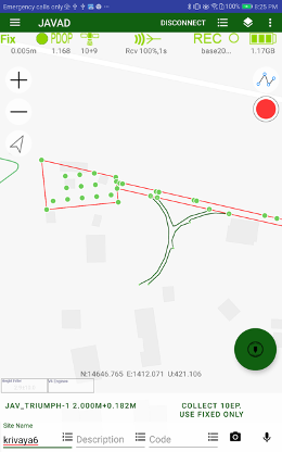
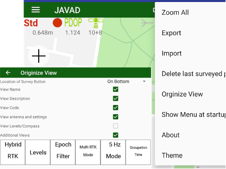
This controls can be placed on the top or on the bottom of the screen. Use swipes and Orginize View menu item to configure the controls.
In this screen use long press to circle button to select Survey / Stakeout / Offsets modes.
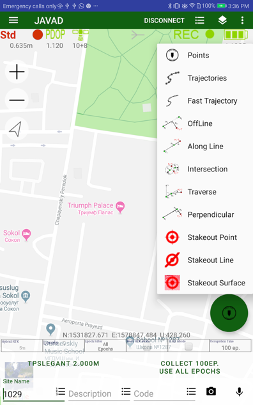
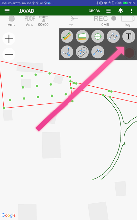
In addition to survey with receiver, Javad Mobile Tools lets user draw on map and measure on map with control button on top. Clicking it opens instrument panel.
All other actions are called from drawer menu on left.