¶ Introduction
Justin software is an indispensable tool for a wide range of geodetic and surveying tasks. It combines high performance and flexibility for post-processing GNSS observations with the features of a GIS interface. The Justin software discloses all advantages of the JAVAD technology and has been optimized to deal the highest precision with the least amount of operator invention.
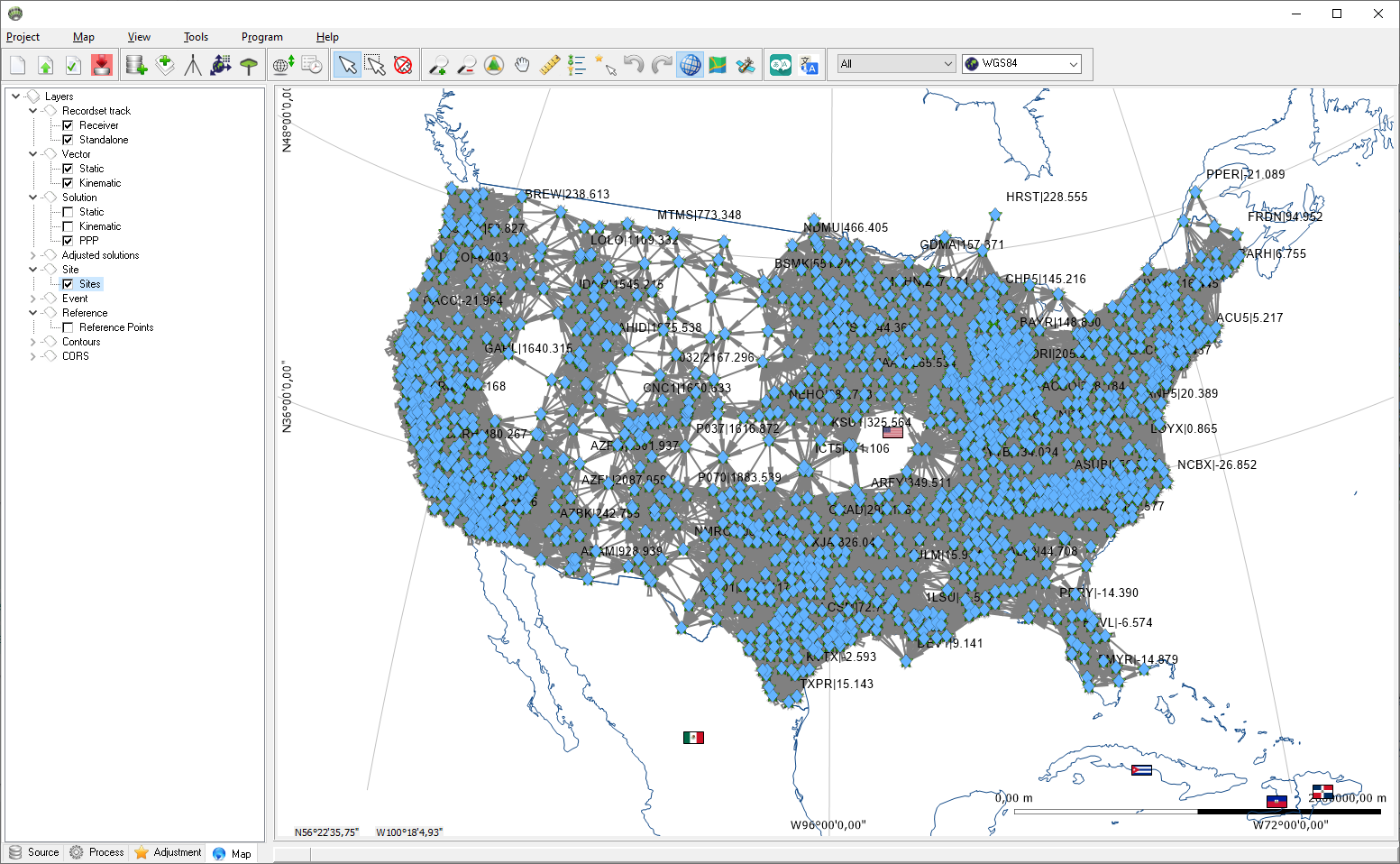
Figure 1-1. Main program window
¶ Terms
| Term | Description |
|---|---|
| Project | SQLite database with extension jxe |
| Dataset | Project table that contains data for unique receiver and antenna pair |
| Recordset | Query from Dataset |
| Vector | Object corresponds two overlapped in time Recordsets |
| Solution | Result of Vector post-processing |
| Edge | Result of Solution adjustment |
| Site | Object created by import raw data file according to standalone, DGPS, RTK solutions, header of RINEX, tag in RTCM message |
¶ Main menu
The menu bar extends across the top of the Main window and contains grouped list of program functions.
¶ Project
The Project menu contains the following items:
| Icon | Name | Description |
|---|---|---|
 |
New | Create new project |
 |
Open | open existing project |
| Close | Close project | |
 |
Settings | Parameters for opened project |
 |
Compact | Remove empty records from database. Background color represent size of project(Green<1Gb,Red>1.5Gb,Yellow - intermediate). |
 |
Import | Import files
|
| Import folder... | Imports all raw data from a folder and its subfolders. | |
| Export | Export files
|
|
| Exit | Exit program | |
| ..\*.jxe | History list of five recently opened projects. |
Some of Project menu items are duplicated in the toolbar.
¶ Map
| Icon | Name | Description |
|---|---|---|
 |
ZoomIn | Increases map scale |
 |
ZoomOut | Decreases map scale |
 |
Move | Panning a map |
 |
Show | Shows entire project |
 |
Ruler | Invokes a tool for distance and azimuth measurement |
| Scale | Sets map scales | |
| Clear map cache | Clears map tile files from program database. | |
 |
Add layer | Add temporary raster or vector layers |
¶ View
Show or hide panels and tables in main window
| Name | Description |
|---|---|
| Solutions | Solution table the results of static processing |
| Progress | Progress panel |
| Edges | Edges table the results of adjustment |
| Recodsets | Table with recordsets data and functions |
| Receivers | Receivers table |
| Events | Events panel and table |
| Precise Point Positioning | Precise Point Positioning table |
If there is a check mark to the left of the menu, then this panel is visible, if not, then the panel is hidden
¶ Tools
| Icon | Name | Description |
|---|---|---|
 |
Coordinate calculator | Open coordinate calculator |
 |
Time converter | Open time converter |
¶ Program
| Icon | Name | Description |
|---|---|---|
 |
Parameters | Open program Parameters window |
 |
Coordinate systems | Open Coordinate system manager |
 |
Reference points | Open Reference points manager |
 |
Antennas | Open Antennas manager |
 |
Cameras | Open Cameras manager |
¶ Help
| Icon | Name | Description |
|---|---|---|
| Manual | Open in default browser Justin 3 Manual page | |
 |
About | Open a window with software version information. |
¶ Toolbar
A toolbar is a set of icons or buttons that allow you quick access to main functions.
Duplicate functions are described in the section Main menu
| Icon | Description |
|---|---|
 |
Point selection on map |
 |
Rectangle selection on map |
 |
Unselect |
 |
Shows the Legend |
 |
Sets the snapping mode for the ruler |
 |
Returns the map in previous position and scale |
 |
Returns the map to initial position and scale after |
 |
Show/hide grid |
 |
Show/hide roads map |
 |
Shows/hides space images |
 |
Select language |
| Combobox | Description |
|---|---|
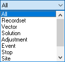 |
Set selectable layer on map |
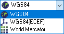 |
Selects project coordinate system |
¶ Project panel
The Project panel is designed to provide full access to program functions.
¶ Map panel
The Map panel is designed to provide access visual objects on cartographic map